| < Previous page | Next page > |
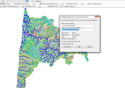
Maximum Downstream GradientMaximum Downstream Gradient
Parameter Description: Channel gradient (rise/run, m/m), the maximum downstream of any reach.
Data Type: Line (stream layer)
Field Name: MAX_GRAD_D; Common name: Maximum downstream reach gradient
Units: m/m
NetMap Module/Tool: Fluvial Processes/Network Variables
Model Description: The maximum downstream gradient can be used to examine downstream barriers to fish habitats.
 |