| < Previous page | Next page > |
8.5 Thermal Refugia Thermal Refugia within streams is important for certain aquatic life, including endangered fish species such as salmon and trout. Thermal refugia is particularly important in watersheds that have less than optimum shade conditions because of historical and current land use including forestry, agriculture and urbanization. In addition, climate change that decreases summer stream flow or increases stream temperatures can exacerbate warm water conditions, making thermal refugia even more important.
Thermal refugia is best determined by field surveys of stream temperatures in the summer, but obtaining temperatures at the watershed scale can be expensive and time consuming. Another method is airborne thermal remote sensing which requires aircraft (fixed wings or helicopters) to fly over sections of rivers and document water temperature (Torgersen et al. 2001). Airborne thermal remote sensing holds great promise to obtain actual water temperature conditions, including identifying thermal refugia, however, it continues to be difficult (and expensive) to apply at the scale of large watersheds, landscapes and states.
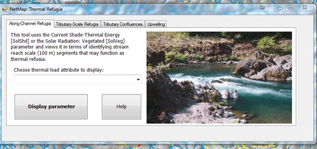
Another approach is to use intrinsic landscape conditions on thermal loading to streams, combined with current shade conditions, to map potential thermal refugia. NetMap contains a tool to map four types of thermal refugia:
1) along channel (reach scale),
2) along channel (tributary scale),
3) confluence intersections with mainstems, and
4) floodplain upwelling.
NOTE, prior to running this tool, you will need to access and process Vegetation Data, such as LEMMA (see Tool).
 The contents of 8.5 Thermal Refugia |