| < Previous page | Next page > |
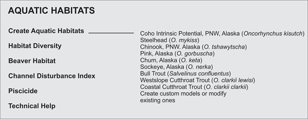
4.0 AQUATIC HABITATSList of Analyses and Tools
 Fish Distributions in NetMap
Although analysts can define their own fish distribution based on local knowledge or their own data, other more general information can be used such as that available from the "streamnet" mapping (for confirmed fish bearing streams). However, the distribution can also be extended beyond that to all streams and rivers that are potential habitats based on gradient and flow thresholds in the intrinsic potential model, including those systems where fish are extinct or extirpated. In this approach, all channels that might have been accessible, but are no longer, are included. For source data, see: http://www.streamnet.org/mapping_apps.cfm
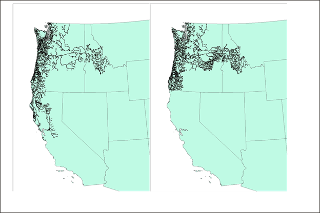 Figure 1. Streamnet distribution in the lower 48 states for coho and Chinook, combined (left panel) and steelhead (right panel).
The contents of 4.0 AQUATIC HABITATS |