| < Previous page | Next page > |
Drainage WingsDrainage Wing Builder
NetMap Module/Tool: Analysis Tools/Drainage Wings
Model Description:
This tool is used to create and display "drainage wings", the local contributing area located on either side of individual 50 to 200 m long channel segments or reaches. The average drainage area of wings is on the order of a few tenths of a square kilometer. Drainage wings are used in many NetMap tools and attributes. Learn more about drainage wings.
Drainage wings are created (Figure 1) and once created in a NetMap dataset they can be displayed later using the same tool (Figure 2).
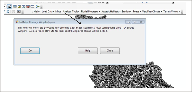 Figure 1.
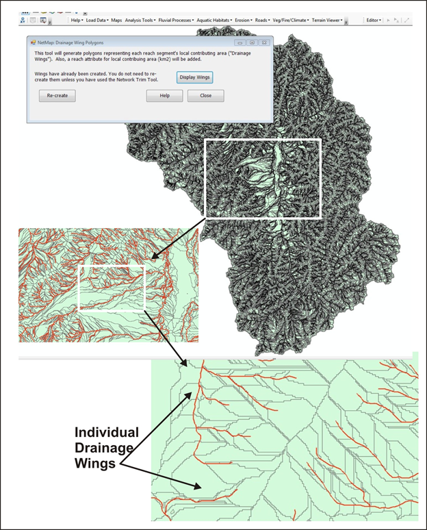 Figure 2.
|