| < Previous page | Next page > |
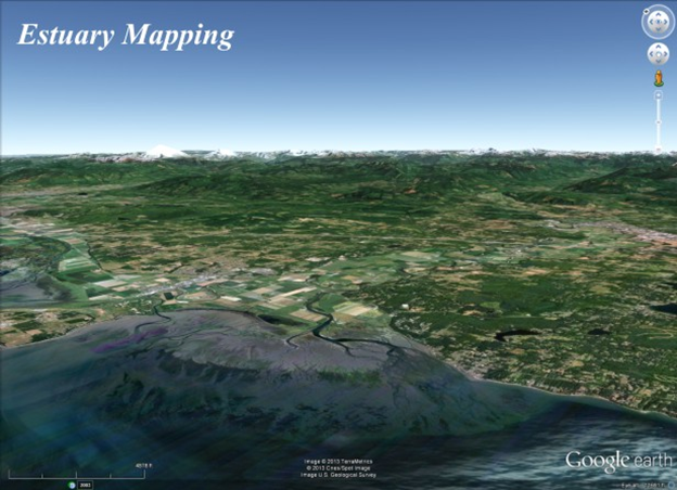
Estuary Inundation/ClassificationNetMap's estuary mapping tool can be used to classify estuaries according to proportion (of the year) of salt water inundation and to create provisional maps of estuary habitats that could be used for estuary restoration or reclamation. NetMap's estuary tool has been applied to the Puget Sound, Washington (located in NetMap's desktop watersheds that drain into the Puget Sound) and will be forthcoming in southeast and southwest Alaska (latter 2013).
 The contents of Estuary Inundation/Classification |