TODO: To change the footer's content go to Dr.Explain menu Options : Project Settings : HTML (CHM) Export : Setup HTML Template and Layout
Roads in Floodplains
Model Description:
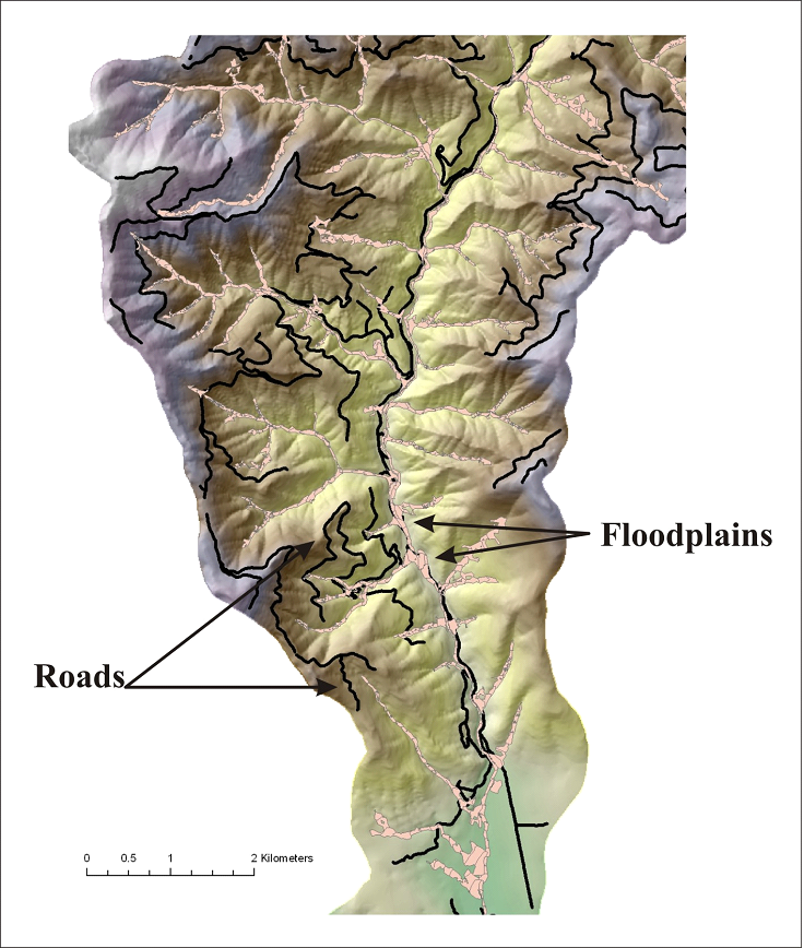
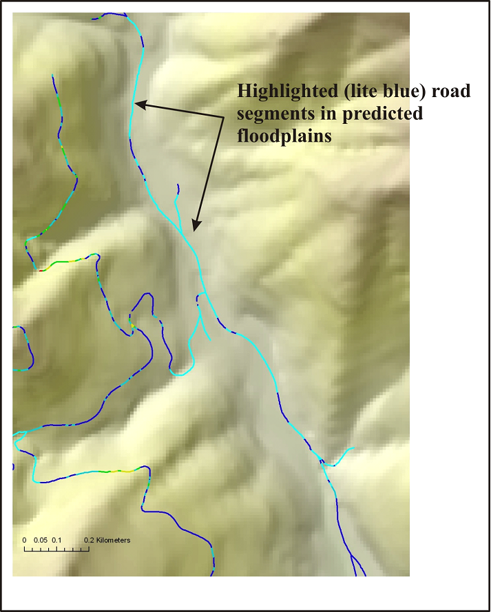
NetMap contains a tool for identifying road segments that are located within predicted floodplains; the Floodplain Mapping Tool needs to be run first. See Figures 1 – 2.
Figure 1. Locations of roads and floodplains are displayed in a basin located in northern California.
Figure 2. The road segments that may be located within floodplains are highlighted (in light blue). The identified road segments (which should be field verified) could potentially be sources of sediment to streams (see Road Surface Erosion Tool) as well as impinging on channels and limiting migration. Road restoration programs could target such areas.