
2.5.8. Road-Debris Flow Risk
Just overlay the road layer onto the debris flow potential map, a manual-visual task. However, in NetMap tools (ArcMap add-in), the calculation is automated. See Technical Help; in the tool any reach attribute can be selected, including debris flow risk.
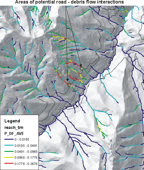
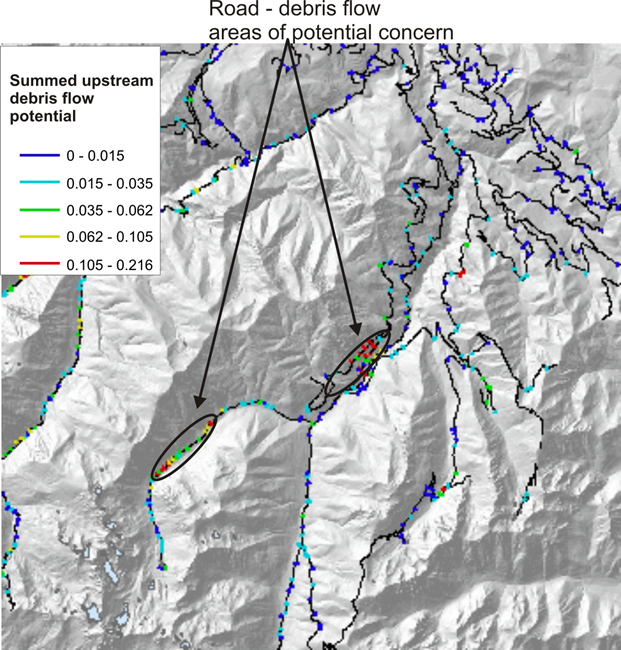
(Left panel) In the Portal, visually examine road - debris flow interactions. (Right panel) In NetMap tools, the detection of upslope risk from debris flows on roads is automated.