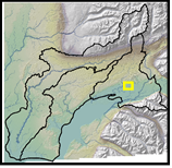
Road
crossings.
Current
options.
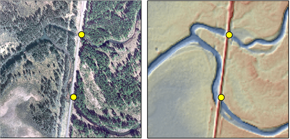
üPoint file of crossing locations. Bomb-crater.
üLine file with short line segments from oned side of road to
the other. Excavate.
the other. Excavate.
•Create
stream layer with coarse DEM (10m) that does not resolve road prisms, intersect with road vector layer
to identify crossing
locations.

Meters
0
100
200