Water mask. A raster or vector layer delineating areas with
surface water.
Derived
from remotely sensed imagery.
Advantages:
•Hydrologic enforcement – guides flow lines in low-relief areas poorly
resolved in DEM.
•Provides measures of wetted channel area, off-channel habitat,
confluence nodes, channel edge length, etc.
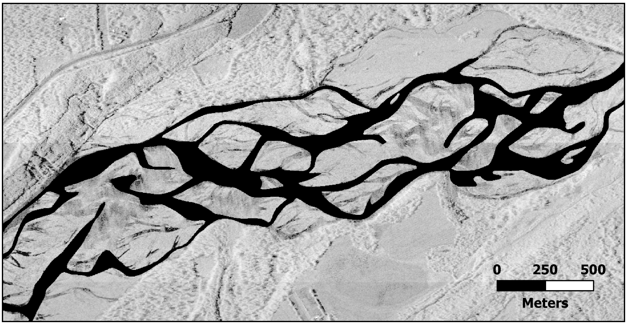
Radar Intensity