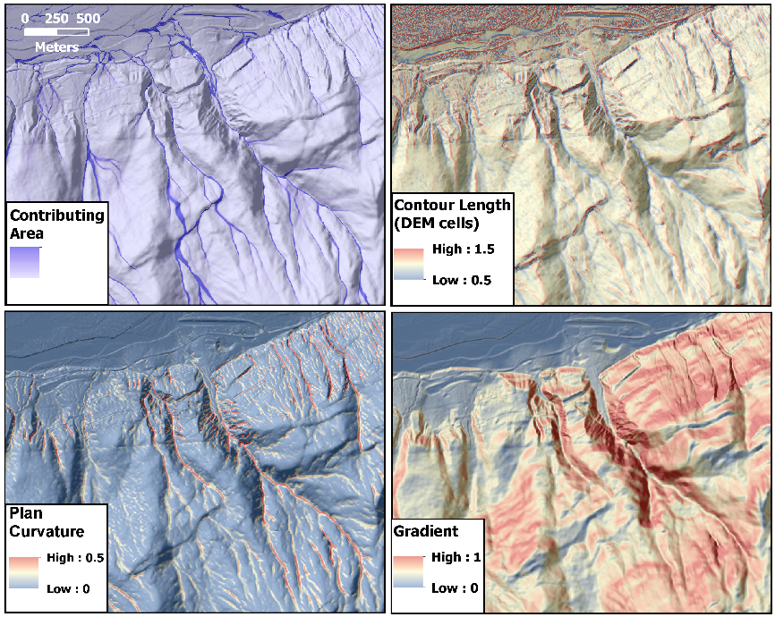
1)Specific contributing area * slope squared.
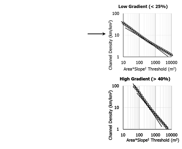
Find the value at which traced channels start to extend onto planar hillslopes, identified by a change in slope in the curve of modeled channel density verses threshold value (log-log plot).
Find the value at which traced channels start to extend onto planar hillslopes, identified by a change in slope in the curve of modeled channel density verses threshold value (log-log plot).
We examine low-gradient and
high-gradient areas separately, because channel-forming processes and associated topography may differ (e.g., seepage erosion
versus debris flow).
Specific area = contributing area
/ unit contour width.
•Contributing
area for a DEM cell and contour length crossed by flow exiting a cell calculated with D-∞.
•Slope
for each DEM cell calculated by fitting a surface over a specified radius centered at each cell.
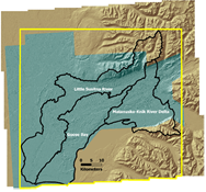
Caibration
Area